Combining species distribution models and moderate resolution satellite information to guide conservation programs for giraffe
Combining species distribution models and moderate resolution satellite information to guide conservation programs for giraffe
2024-Aug-02
·
1 min read
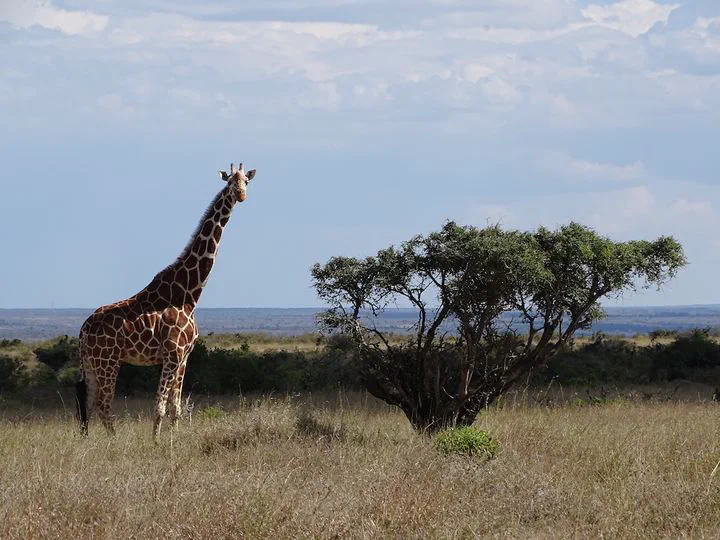
I am collaborating with the Giraffe Conservation Foundation to implement a species distribution modeling (SDM) workflow in Google Earth Engine, combining GPS telemetry data giraffe with high-resolution satellite data to predict suitable habitat at <100-m spatial resolution across the potential range of the species.
The methods is proving to be very useful to identify areas of high conservation value for giraffe, and to guide relocation programs to move animals into new habitats and help to recover giraffe species from areas where populations have gone extinct.
Click the GCF tag below to see all publications and posts related to this project.