Google Earth Engine for Ecologists and Practitioners
I started working with Google Earth Engine in 2019, when I was a postdoctoral researcher at the Smithsonian Conservation Biology Institute (SCBI).
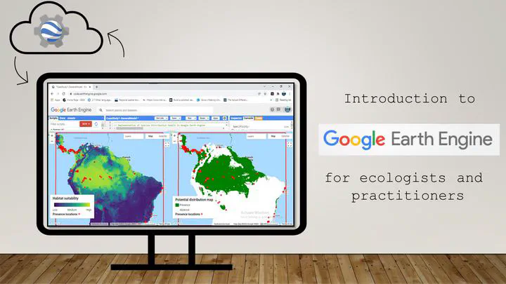
Google Earth Engine (GEE) is a free web-based spatial analysis platform that requires only a web browser and an internet connection to programmatically access and analyze data from its multi-petabyte catalog of regularly-updated satellite imagery (e.g., MODIS, Landsat, Sentinel) and other geospatial datasets.
Taking advantage of the extensive database and the computing power of Google computing network, we can now implement species distribution models, functional and structural connectivity analysis very quickly and without the need of multiple software to compile environmental variables and conduct analyses. We can also link GEE with R, through the package rGEE, to extract covariables from transects or even animal tracking data, matching the date and time data was collected with the date and time the remote sensing data was acquired. This has opened multiple opportunities for research.
If you want to learn how to use GEE and implement any of the methodologies developed, I have created multiple tutorials that you can find in the tutorial section of this website.
Click the GEE tag below to see all publications and posts related to this project.